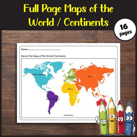
Maps of the World & Continents Learning Worksheet
Description
Title: Maps of the World & Continents Learning Worksheet
Suitable For: Young learners (ages 6-10)
Purpose: Discover global geography vibrantly and interactively, fostering a love for exploration, cultural awareness, and a fundamental understanding of continents and countries
Activity:
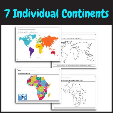
- Embark on a captivating journey through continents and countries with interactive activities.
- From coloring and naming continents to an artistic exploration of country borders, each activity is meticulously crafted to enhance geographical knowledge, creativity, and active participation in learning.
Tools Needed: Ensure you have coloring materials (crayons, colored pencils), writing instruments, and access to a printer for additional copies. The worksheet is designed for easy implementation, requiring minimal additional tools, making it accessible for both classroom and home use.
Page Size: 8.5″x 11″ (Letter Size)
User Instructions:
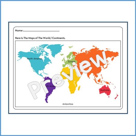
- Begin with the fully colored world map to introduce continents.
- Progress to the identical map without colors and names for recognition.
- Engage in continent-specific coloring and naming activities.
- Foster interactive learning with colorful maps and blank maps for each continent.
- Showcase artistic skills by coloring a world map with borders around countries.
- Conclude with a reflection page to encourage sharing and curiosity.
Reviews
×
Page: /
Reviews
By Harry A. Becerra on
Invaluable resource! These worksheets make learning about the world and continents fun and engaging.
Write a Review
Leave a reply Cancel reply